|
NŘFLQ Traffic Cameras
Page |
|
| Metro Multiple App | HIGHWAY | LOCATIONS | CAMERAS | |
 |
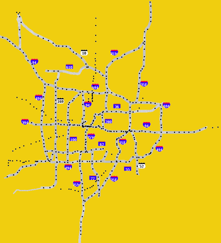
I-35 North | Co Rd 22 - N. of I-35W | 056-063 | |
| I-35W North of I-94 | Co Rd 21 - Chicago Ave | 625-650,706,1629 | ||
| I-35E North of I-94 | I-35W - University Avenue | 035-055 | ||
| I-35W South of I-94 | Broadway - Co Rd 42 | 606-626,6091,6131,6161,6301 | ||
| I-35E South of I-94 | Kellogg Blvd - Co Rd 42 | 010-034 | ||
| I-35 South | Crystal Lake Rd - 210th St | 599-605 | ||
| I-94 North Metro-W of Hwy 101 | E of Co Rd 75 - Hwy 101 | 766-768,770-778,780-788,790-802 | ||
| I-94 North Metro-E of Hwy 101 | Hwy 101 - 7th St | 802-825 | ||
| I-94 West Metro | 7th St - Hwy 280 | 825-841,8321,8331,8340,8350-8353,8361,8381 | ||
| I-94 East Metro | W of Hwy 280 - Carmichael Rd | 840-871,8431,8471,8481 | ||
| I-394/U.S. 12 | Central Ave - 7th St | 901-920 | ||
| I-494 West Metro | Fish Lake Rd - I-35W | 421-443 | ||
| I-494 East Metro | Lyndale Ave - Tamarack Rd | 399-420 | ||
| I-694 | Hwy 52 - 10th St | 701-725 | ||
| Hwy 5 | Airport Rd - Fuller Rd | 100,5005-5017 | ||
| Hwy 7 | Hwy 41 - Louisiana Ave | 1270-1281 | ||
| Hwy 10 | Hwy 24 - County Rd. J | 653-654,656-673,1642,1645-1646,1650-1651 | ||
| Hwy 13 | Hwy 101 - Yankee Doodle Rd | 1303-1317 | ||
| Hwy 36 | Cleveland Ave - Hwy 120 | 001-008,3613 | ||
| Hwy 41 | 82nd St - Lyman Blvd | 4115-4116 | ||
| Hwy 47 | 53rd Ave - 40th Ave | 1470-1472 | ||
| Hwy 52 | Plato Blvd - Hwy 55 | 550-561 | ||
| Hwy 55 | Arrowhead Dr - Hwy 5 | 105,1529-1535,1537-1542,1544-1545 | ||
| Hwy 61 | Beam Ave - Co Rd B | 1713-1715 | ||
| Hwy 62 | I-494 - 43rd Ave | 106-123 | ||
| Hwy 65 | Crosstown Blvd - 40th Ave | 1474-1488,1490-1495,1497-1500 | ||
| Hwy 77 | 66th St - Co Rd 38 | 503-512 | ||
| Hwy 100 | 57th Ave - 77th Ave | 209-210,212-226 | ||
| Hwy 101 | Co Rd 37 - Co Rd 36 | 203,205 | ||
| Hwy 110 | Hwy 55 | 104 | ||
| U.S.169 | Main St - Co Rd 83 | 315-338,1652 | ||
| Hwy 212 | Hwy 41 - Shady Oak Rd | 383-396 | ||
| Hwy 280 | Hwy 36 - University Ave | 280-284 | ||
| Hwy 610 | Hemlock Ln - Hwy 47 | 669,686-688 | ||
| ALL CAMERAS | ALL | |||
|
|
||||
|
|
MnDOT's Metro Freeway Map - A Brief FAQ
|
This Page Has Been Visited
|
|

|
All pages and concepts herein are © by
NŘFLQ, 1997-2019. Nothing on this web site may be published, distributed or used elsewhere without the express, written consent of
NŘFLQ.